Table of Contents
Location
Adding #geopoint to the description will convert a short-answer text question into a GPS location question.
Additional tags:
#fixCount(default4)
This is the number of warmup readings to take. GPS devices may produce inaccurate readings until they have warmed up.#snapOnSave(defaultno)
If this tag is set toyes, then the question will be automatically taken when the user presses the save button. Otherwise, the location is asked like a normal question.#allowManual(defaultyes)
If this tag is set toyes, then the reading can be customized by the user by entering it manually. Otherwise, the reading can only come from the GPS.
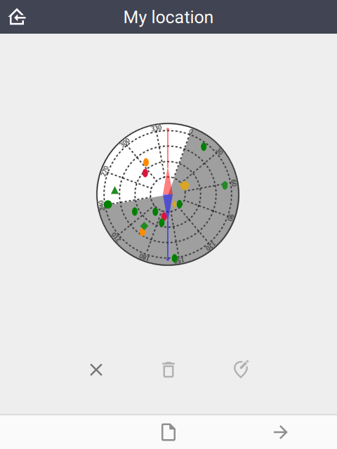
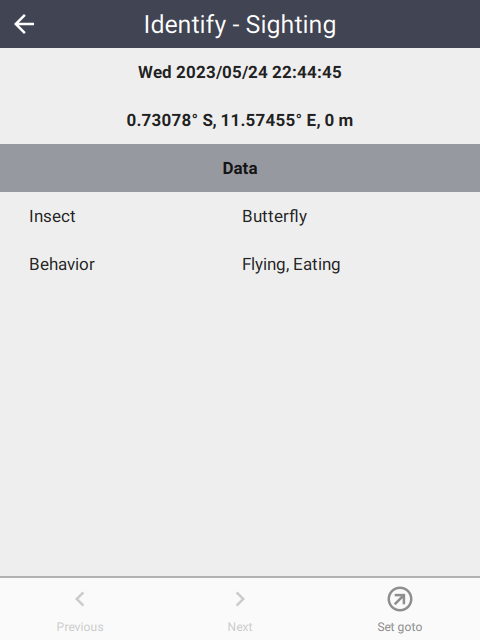
Example
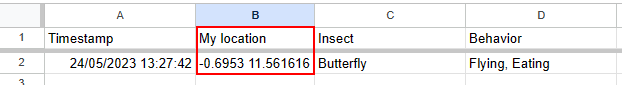
 |
The format of the GPS coordinate is latitude space longitude:
 |
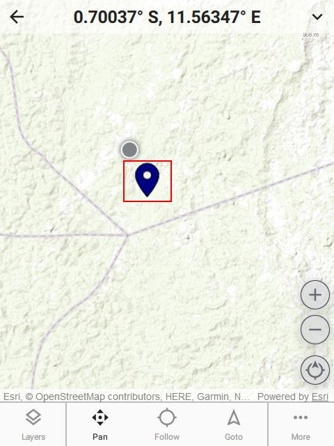
The location is also visible on the field map:
 |  |  |